MARKETS
Transforming spaceborne insight into an everyday utility

Our unique technology enables us to capture imagery that no one else can, allowing us to serve customers in ways that no one else does.

Energy
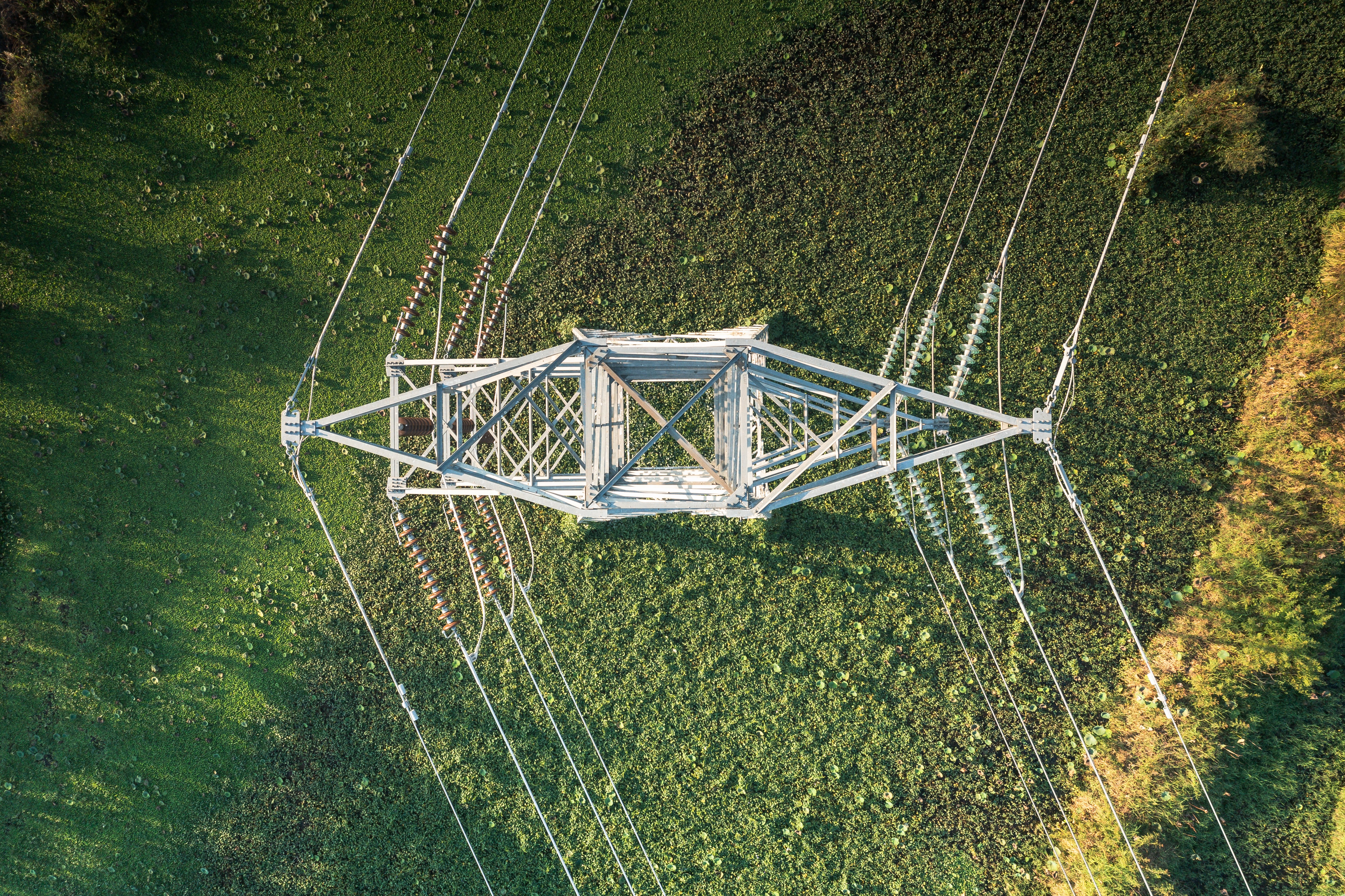
High-volume, high-agility, and reliable satellite imagery can efficiently monitor critical infrastructure assets. From pipelines to power lines, Extellis can ensure robust operation through remote, automated insights.
Energy
High-volume, high-agility, and reliable satellite imagery can efficiently monitor critical infrastructure assets. From pipelines to power lines, Extellis can ensure robust operation through remote, automated insights.
Energy
High-volume, high-agility, and reliable satellite imagery can efficiently monitor critical infrastructure assets. From pipelines to power lines, Extellis can ensure robust operation through remote, automated insights.


Agriculture
Extellis finally makes satellite imagery affordable for farmers, allowing them to make informed decisions to improve yields and reduce costs while adapting to changing climate conditions.
Agriculture
Extellis finally makes satellite imagery affordable for farmers, allowing them to make informed decisions to improve yields and reduce costs while adapting to changing climate conditions.
Agriculture
Extellis finally makes satellite imagery affordable for farmers, allowing them to make informed decisions to improve yields and reduce costs while adapting to changing climate conditions.

Government
Now more than ever, time-critical satellite imagery is essential for government agencies to make well-informed tactical decisions.
Government
Now more than ever, time-critical satellite imagery is essential for government agencies to make well-informed tactical decisions.
Government
Now more than ever, time-critical satellite imagery is essential for government agencies to make well-informed tactical decisions.
Low Resolution (>10 m)
Low Resolution (>10 m)
Medium Resolution (1 - 10 m)
Medium Resolution (1 - 10 m)
High Resolution (<1 m)
High Resolution (<1 m)

Ship tracking
Ship tracking
Route planning
Route planning
Weather and climate
Weather and climate
Weather and climate

Subsidence detection
Subsidence detection
Subsidence detection
Agriculture
Agriculture
Pipeline monitoring
Pipeline monitoring

Military
Military
Vegetation management
Vegetation management
Insurance
Insurance
Low Resolution (>10 m)
Medium Resolution (1 - 10 m)
High Resolution (10 cm - 1 m)